$250.00 Introductory Price for the Basic Residential Aerial Image Package.
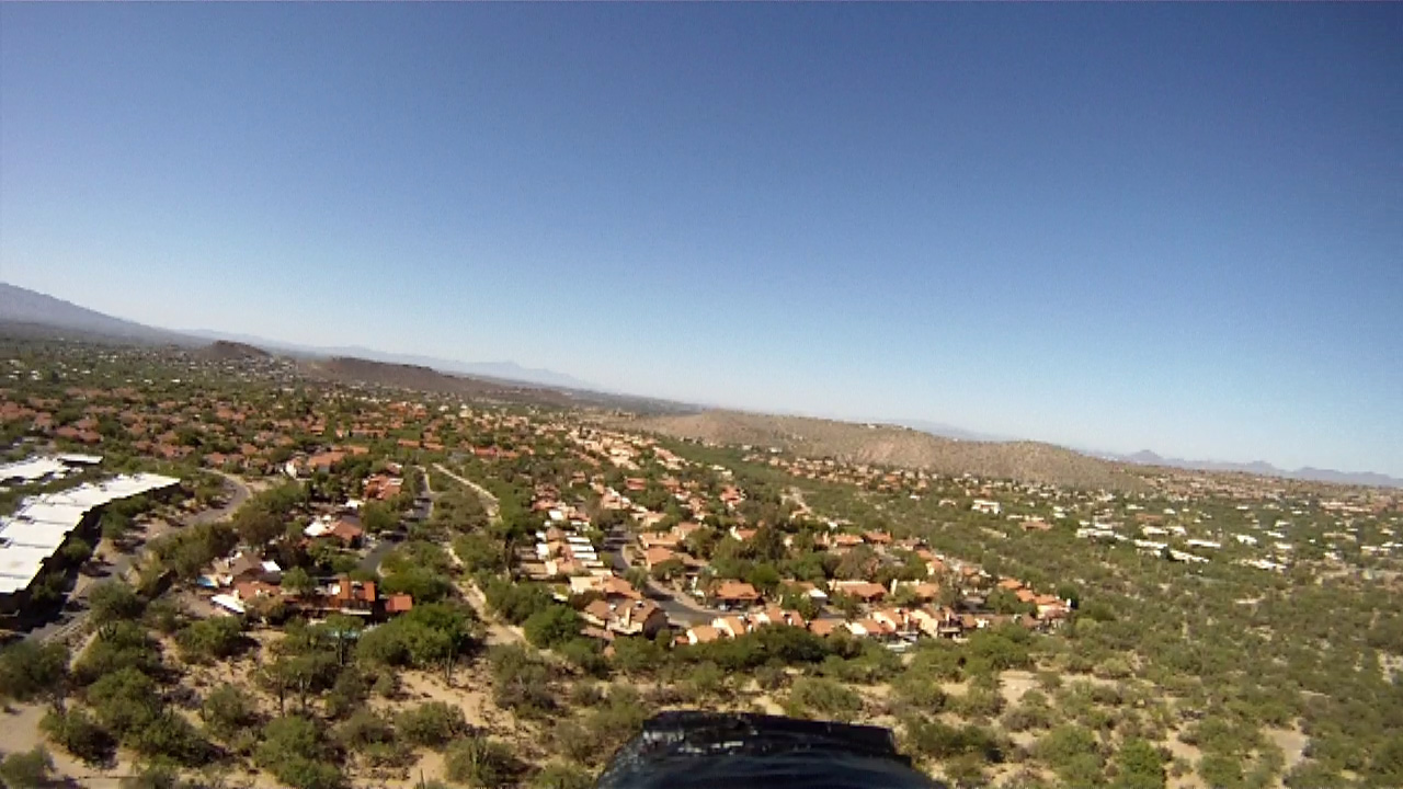
Click on the image to the left for a sample of the Residential Package
Airborne Precision Imaging - Arizona
API-AZ
Consulting and aerial imaging for scientific, educational, consumer and commercial users
An independant research project of Professor David G. Iadevaia *
$275.00 Introductory Price for the Basic Commercial Aerial Image Package.
Click on the image to the left for a sample of the Commercial Package
What is an NIR Image and why it might be important?
The Near Infrared (NIR) can be computed from multi-spectral imagery to help assess vegetative health. Plants reflect and absorb visible and near infrared (NIR) energy but they reflect less energy in the visible spectrum than the NIR spectrum. As they become less productive due to stress or environmental factors such as seasonal variations the NIR reflectance decreases rapidly. Healthiness is based on the vegetation's ability to reflect the NIR light which corresponds to vigorous photosynthesis activity. Materials such as concrete, asphalt, plastics also bare soil and highly reflective non-vegetation like bodies of water will typically have color or shade of gray value approaching black. A NIR Image is captured by the camera within a bandpass from 730 to 1100 nm. These images can also detect soil disturbance such as excavation and moisture and could be useful in archaeology.
$125.00 Introductory Price for the Basic
NIR (Near Infrared) Aerial Image Package.
Click on the image to the left for a sample of the NIR Residential Package
$200.00 Introductory Price for the Basic
Archeology Aerial Image Package.
Click on the image to the left for a sample of the
Basic Archeological Package