Airborne Precision Imaging - Arizona
API-AZ
Consulting and aerial imaging for scientific, educational, consumer and commercial users
An independant research project of Professor David G. Iadevaia *
FAA 333 Exemption No. 15512
Click on the image to the left for a demonstration of IR Thermography from 7.2 to 13 microns. This imaging technique is useful for detecting defective solar panels, heat loss in structures and monitoring of systems such as electrical sub stations, commercial and consumer solar panel installations. Since the outcome is dependant on the purpose of the imaging a consultation is necessary.
The fee for consultation, image collection or learning to use your own UAV is $100.00 per hour.
Click on the image to the left to see a demonstration of a 3D rendering
complied from a series of 2D images. The demo shows a high resolution
video of the area imaged in 2D. The medium resolution 3D rendering
allows one to view the area from any direction. The pixelization and what
looks like sand against the objects are indication of missing data.
These effects can easily be eliminated but are shown here for illustrative purposes.
Contact by e-mail: apiaz123@yahoo.com
Call (leave a voice message) or text 520-827-7877
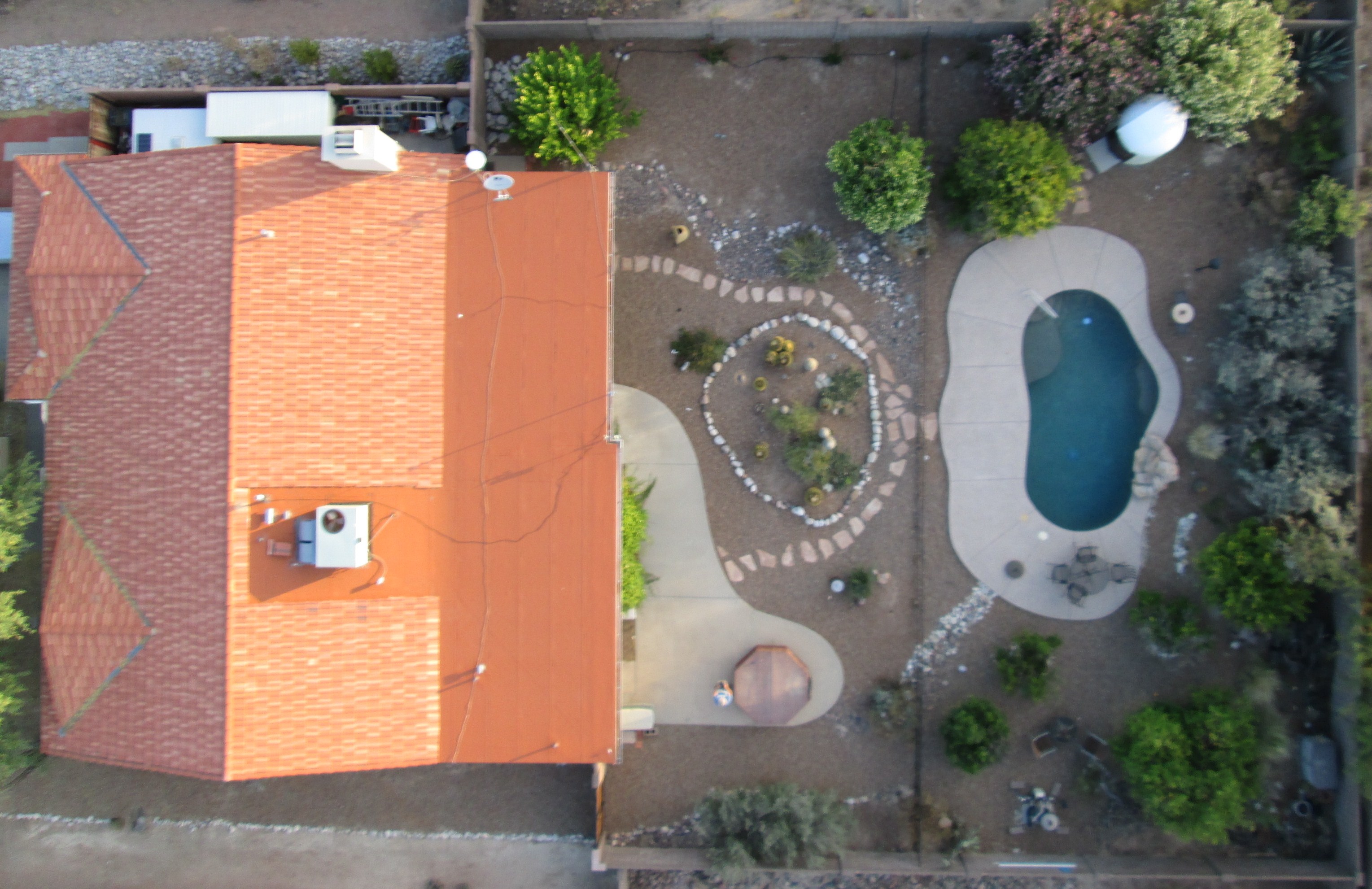
The image on the left is a Quick-Shot. A Quick-Shot image is of the entire property taken at an appropriate altitude. This is the image of least resolution but is photometric in that it is an actual image showing structures as they are in reality. Relative measurements and placements of objects in the image can be made. This is the least expensive image. Cost of $50.00 includes a digital copy of the image.
*Airborne Precision Imaging - Arizona is Professor Iadevaia's sole source of revenue for his independant research in the safe use of UAVs for various scientific, educational, consumer and commercial users such as municipalities, contractors, law enforcement, surveyors, real estate agents/photographers, archaeologists, farmers, search and rescue personnel or geologists. Professor Iadevaia has been conducting UAV research since 2011. The focus of this research is not only in the use of but also the reliablity and safety of UAVs. The modest fees for the products (which are also part of the research) presented on this website help defray the cost of his research.
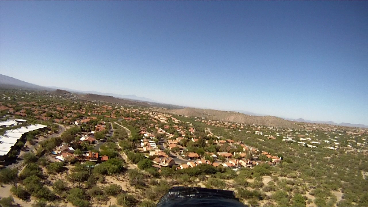
Click on image to the left for a Bird's Eye view of the usefulness of UAV imaging. Simple imaging both still and video including more complex photogrammetry and IR thermography services are available. UAVs are technologically sophisticated and adaptable for many uses.
$250.00 Introductory Price for the Basic Aerial Image Package.